Inquiry byquality of experience
Inquiry Entry
Lesson, lab, field, exhibit, or local history archives — pick the room, and the way to begin becomes clear.
Map pins are for Field (places). Lessons, the lab, and exhibits are in the catalog below. After filtering by room, press ALL to show everything again. The small translucent dots on the map are local history archives across Japan; reddish dots cover a prefecture or the nation.
lesson
Lesson
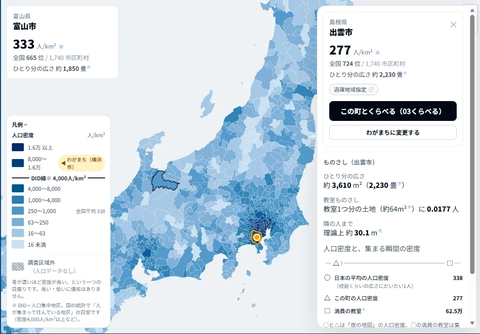
Population Density Compare Map
Compare municipality population density across Japan from your town as the baseline, using Japan’s 2020 Population Census.
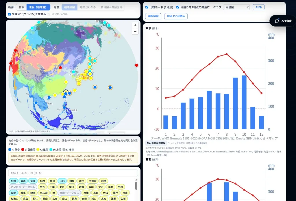
Climate Compare Map
Compare two places with climographs from verified JMA, WMO, and CWA normals (1991-2020). Japan stations plus a globe view of world cities.
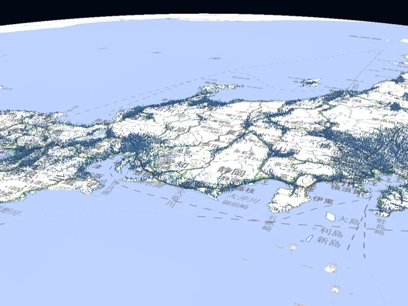
Kokudaka Compare Map
See late-Edo villages as columns of kokudaka on the map, filter by neighbourhood grade, and read the kokudaka ranking. Kokudaka is a tax stick, not wealth itself.
lab
Lab
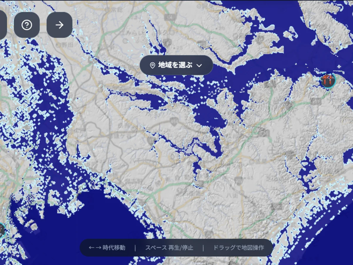
field
Field
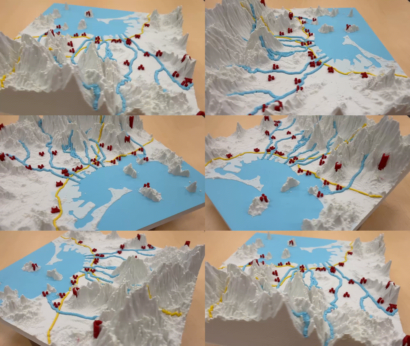
Fukuoka 3D Terrain
Change the angle of light to discover history etched into the land. Explore Fukuoka with the 3D terrain viewer.
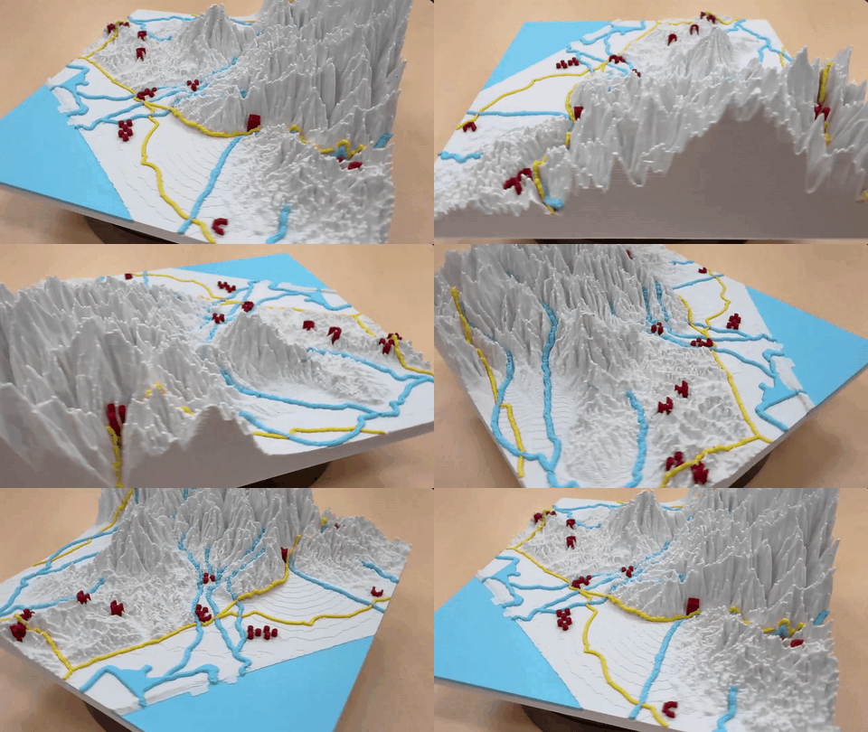
Kanazawa 3D Terrain
The castle town of Kaga Hyakumangoku. Read the Maeda clan's urban planning from the terrain between the Sai and Asano rivers.
EXHIBIT / THEATER
Special exhibit · Theater

Stories in the Data
Population, cities, life expectancy, wealth, crops, fisheries, rainforests — a theater of short films that put stories on data.
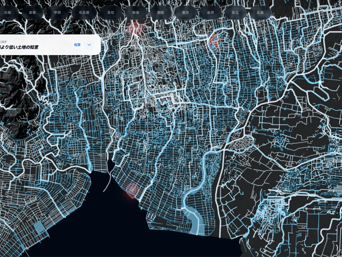
Water Network
Start by looking at water alone. Visualize the water structure that governs the Japanese archipelago.
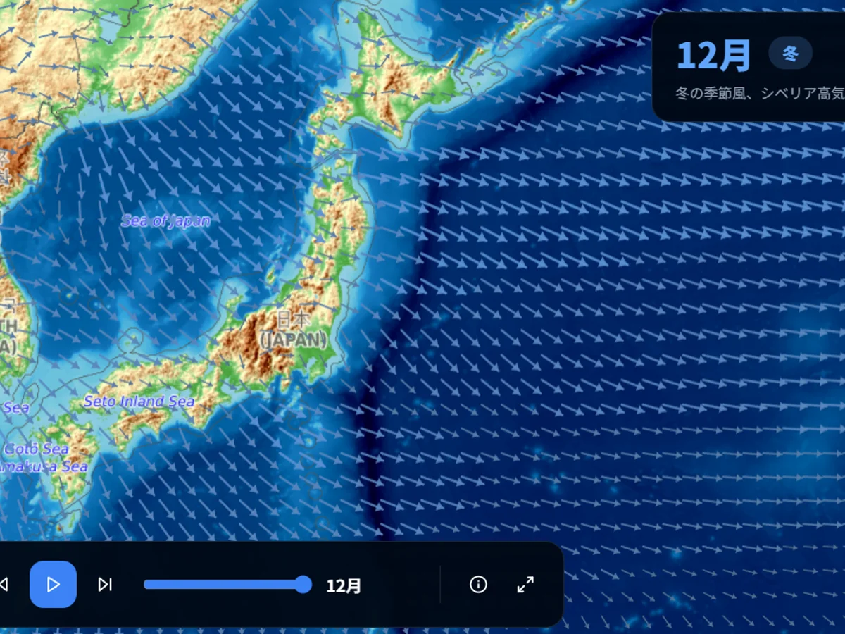
Monsoons, Jet Streams & Currents
Visualized with ERA5 and OSCAR data. The atmospheric and oceanic circulation dominating the Indo-Pacific.
LOCAL HISTORY ARCHIVES
Local History
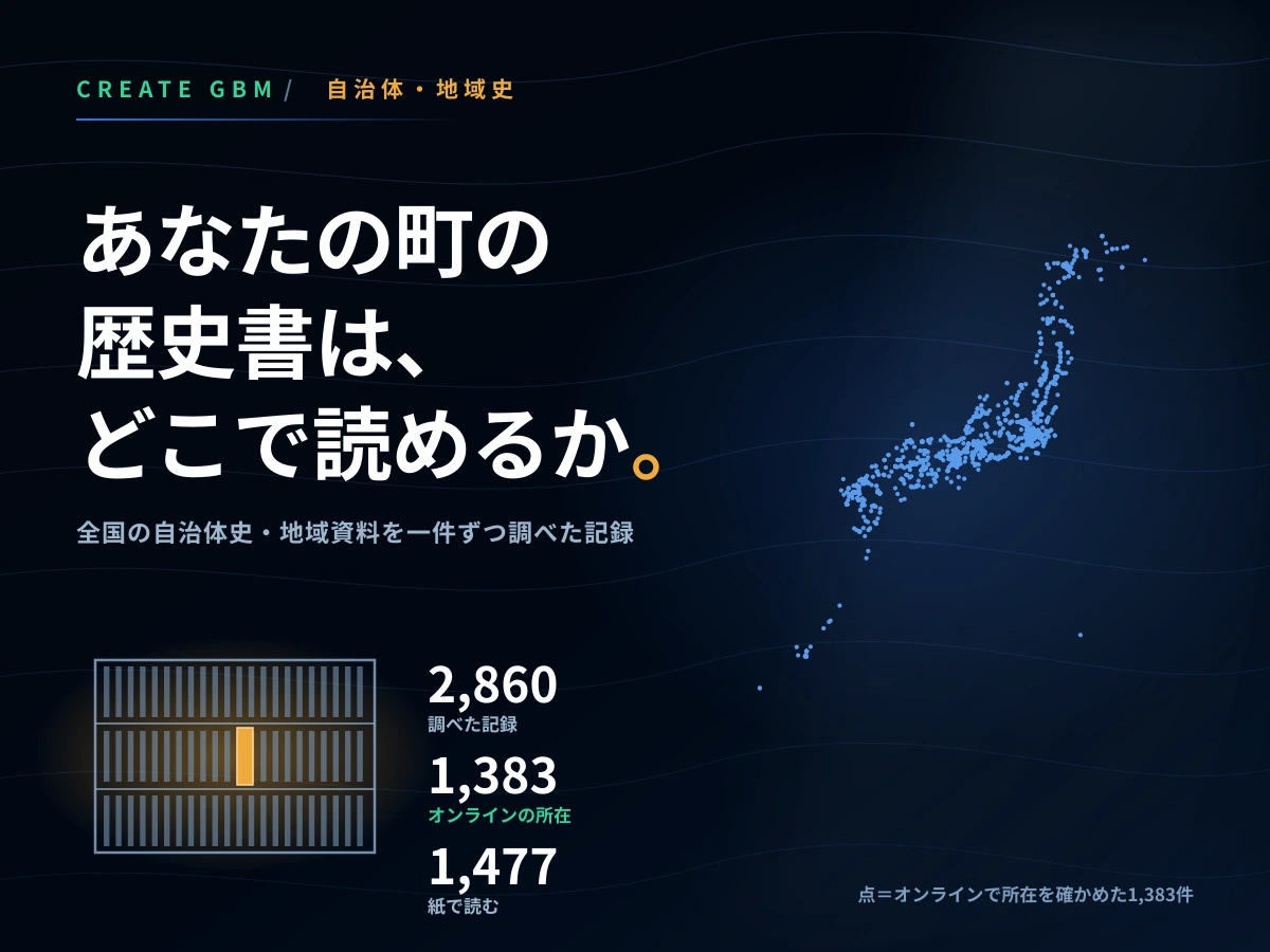
Find Municipal Histories and Local Materials
Where can you read your own town’s history? A one-by-one survey of 2,860 records across Japan. Search by town name, kana, or old province.
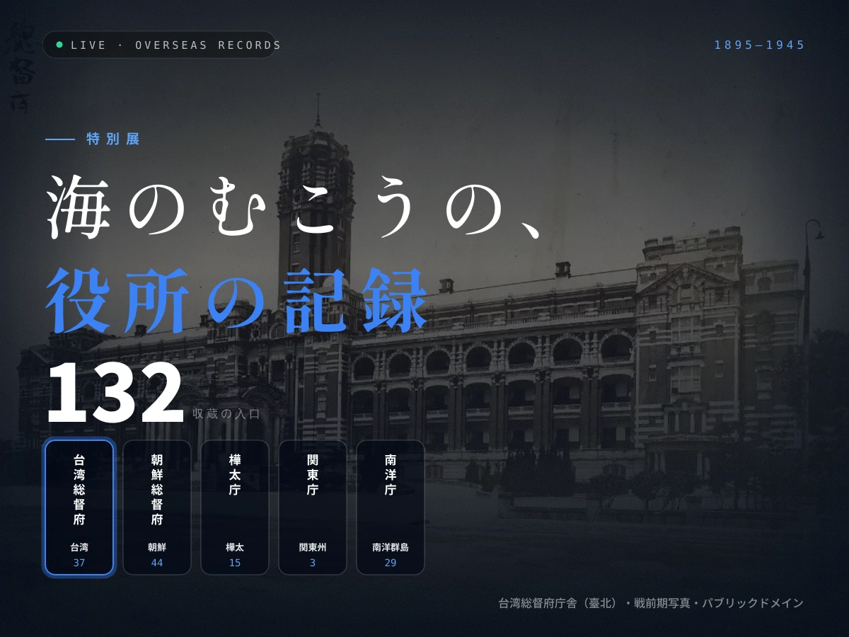
Records of offices across the sea
132 entrances to records left in the five regions Japan administered until 1945: Taiwan, Korea, Karafuto, Kwantung and the South Seas.