CreateTerrain
Create GBM
Terrain is history's first word.
Sculpt, paint and shape it — right in your browser. Your own 3D earth, rising in real time.
Move past textbook maps. Build the world with your own hands.
Why Create Terrain?
Creating terrain data is more than just a technique.By recreating historical stages with your own hands and standing in the shoes of people from the past,a new world of discovery and learning opens up.
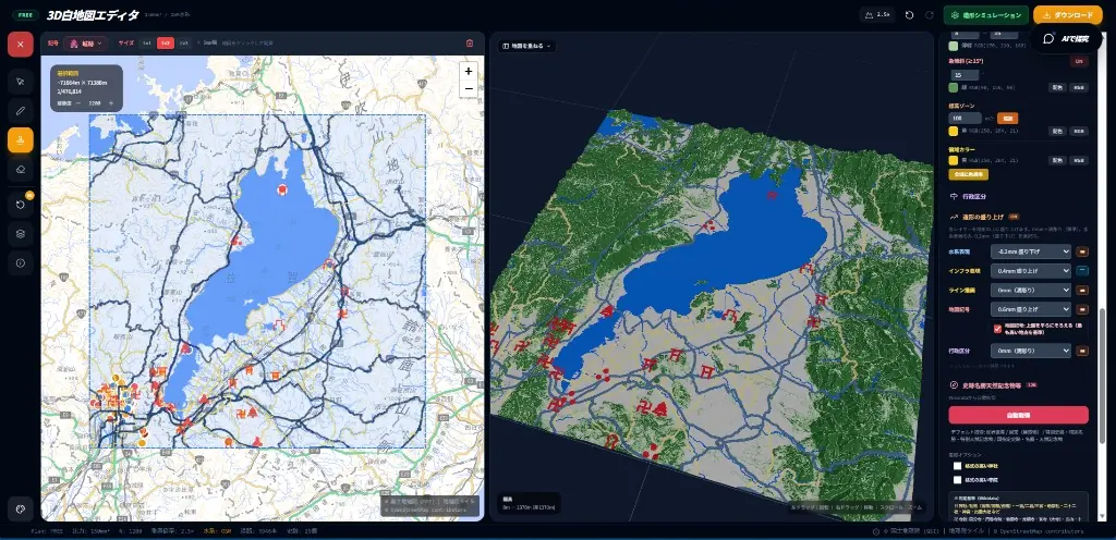
3D White Map Editor
Create colorful 3D terrain data and output it, all in your browser. Overlay OpenStreetMap waterways, edit maps, preview in 3D, export to 3MF/GLB/PNG/STL/OBJ, and simulate printing without Blender.
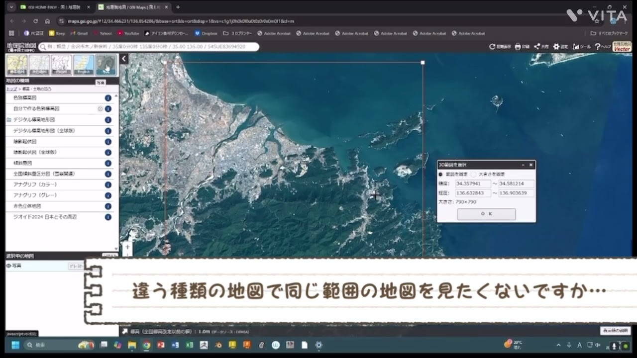
Colorful GBM Creation
Cut out 3D terrain data from GSI Maps and bring it into Blender for coloring and finishing — a surprisingly approachable workflow, walked through step by step.
Map Lab
Experience basic GIS operations used in QGIS, right in your browser. Measure, draw, overlay, and analyze maps — designed for students.

応用技術
順次公開・拡充予定の機能です
AR Integration
Overlay terrain data on the real world with your smartphone. Experience historical stages in 3D.
順次公開Generative AI Integration
Combine AI and terrain data to generate new historical interpretations and simulations.
順次公開Layer Feature
Overlay multiple terrain data to visualize changes across time periods.
順次公開Education Integration
Utilize GBM in geography and history classes. Perfect for inquiry-based learning presentations.
順次公開